
Trail Running Fjordruta: Norway’s Ultimate Coastal Mountain Route
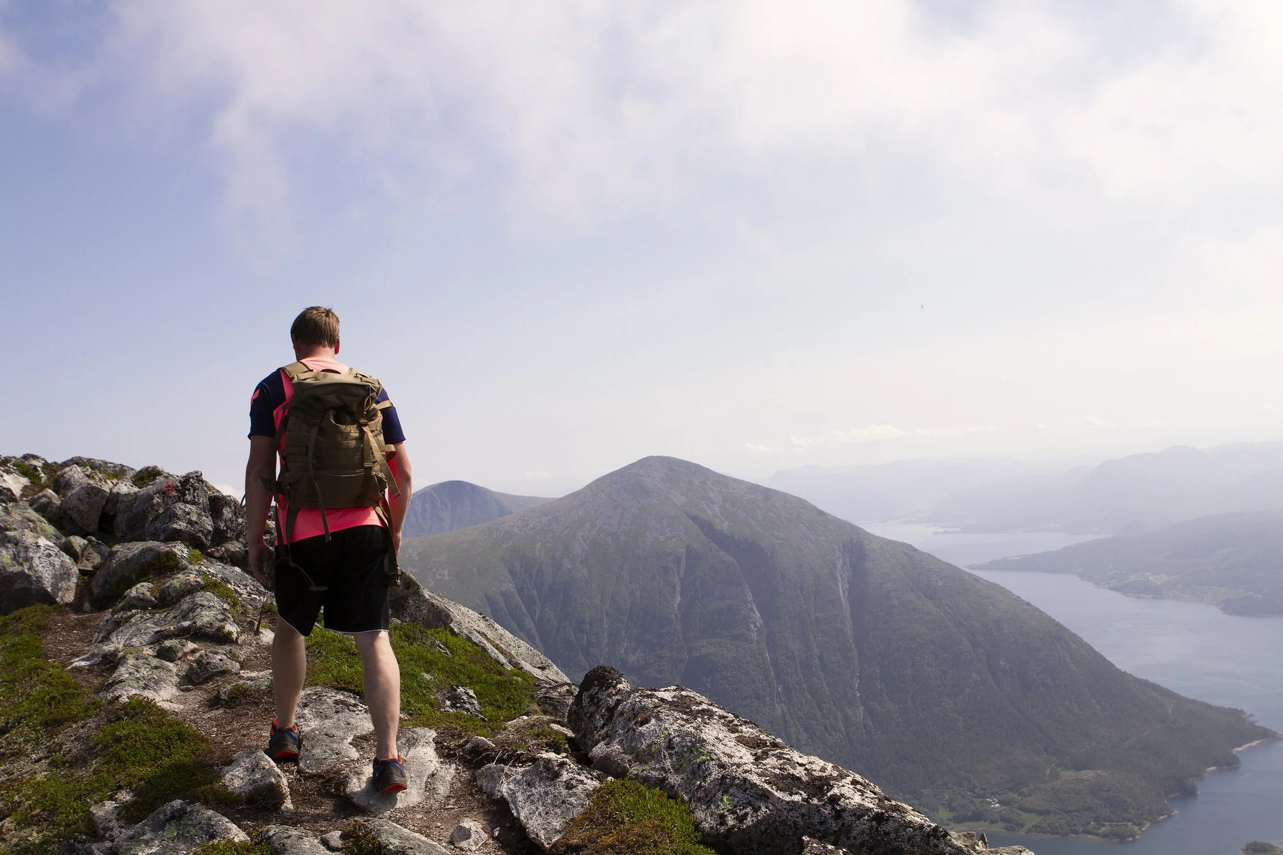
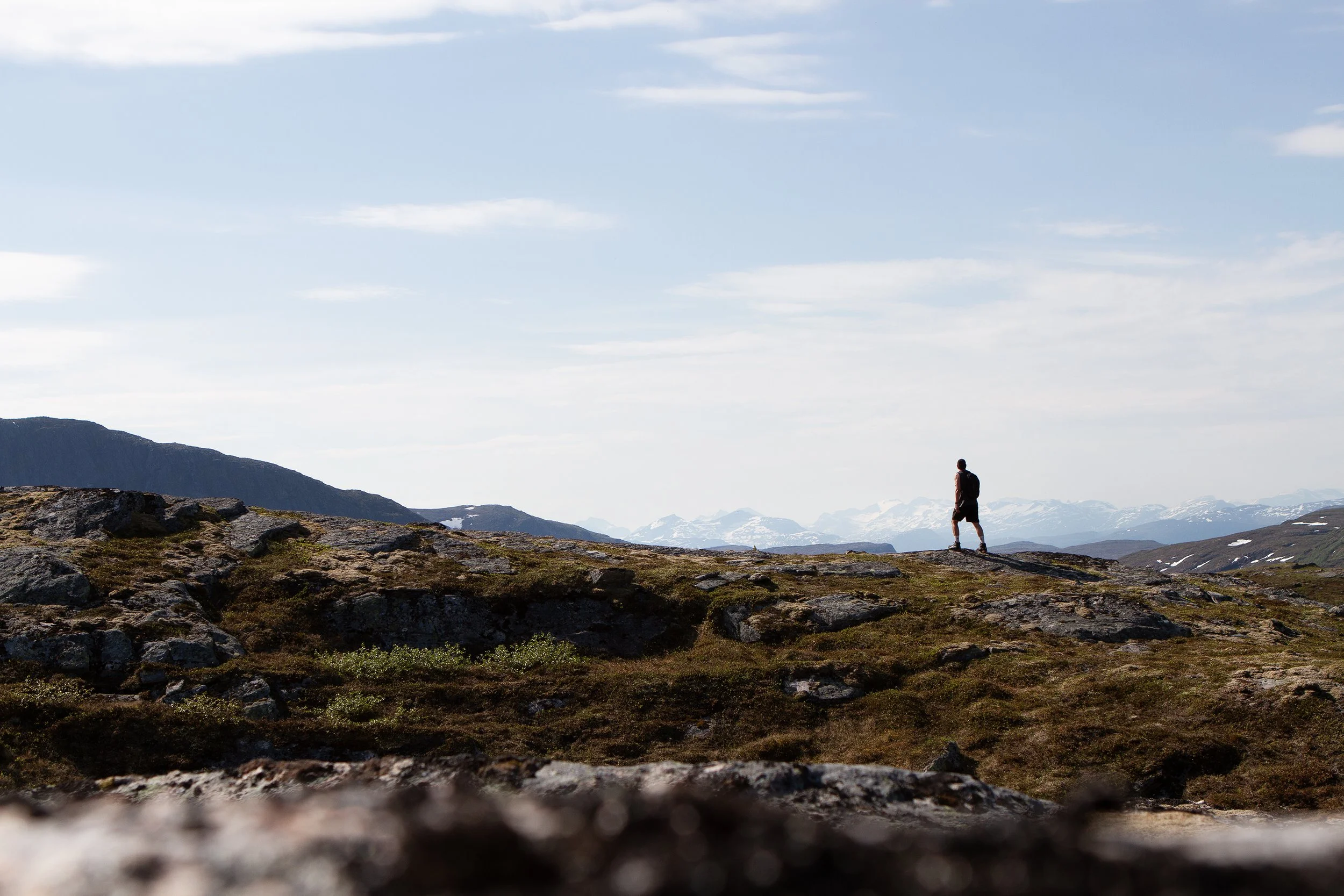
From the passage over Tustnastabban
There are hikes that test your legs, hikes that test your head, and then there are routes that remind you why you move through mountains at all. Fjordruta in Nordmøre belongs firmly in the last category. Stretching across dramatic coastal mountains, remote valleys, and airy ridgelines, this is already one of Norway’s great long-distance hikes. But increasingly, Fjordruta is also becoming something else entirely: a world-class trail running adventure.
We ran Fjordruta over two long, demanding days, moving light, staying in self-service huts, and covering ground fast enough to feel the rhythm of the landscape shift beneath our feet. It’s not a route you rush—but it is one you can flow through, if you’re prepared.
What Is Fjordruta?
Fjordruta is a marked long-distance trail developed by Kristiansund og Nordmøre Turistforening (KNT), part of the DNT network. Depending on variants and side trips, the full route stretches roughly 160–180 kilometers, linking fjords, islands, and inland mountains across Nordmøre.
Traditionally, Fjordruta is hiked over 7–10 days. But thanks to runnable terrain, well-placed huts, and increasingly trail-runner-friendly logistics, it has quietly earned a reputation as one of Norway’s most exciting multi-day trail running routes.
That reputation was cemented when large parts of Fjordruta were used for the Salomon X-Trails race some years back—proof that this landscape isn’t just beautiful, but genuinely runnable at speed.
Running Fjordruta in Two Days
Running Fjordruta in two days requires experience with long mountain days, confident navigation, and comfort moving efficiently across mixed terrain. For us, it meant:
Day 1: Long valley stretches, rolling mountain plateaus, and technical climbs
Day 2: Narrow ridges, coastal exposure, and an unforgettable finale over Tustna
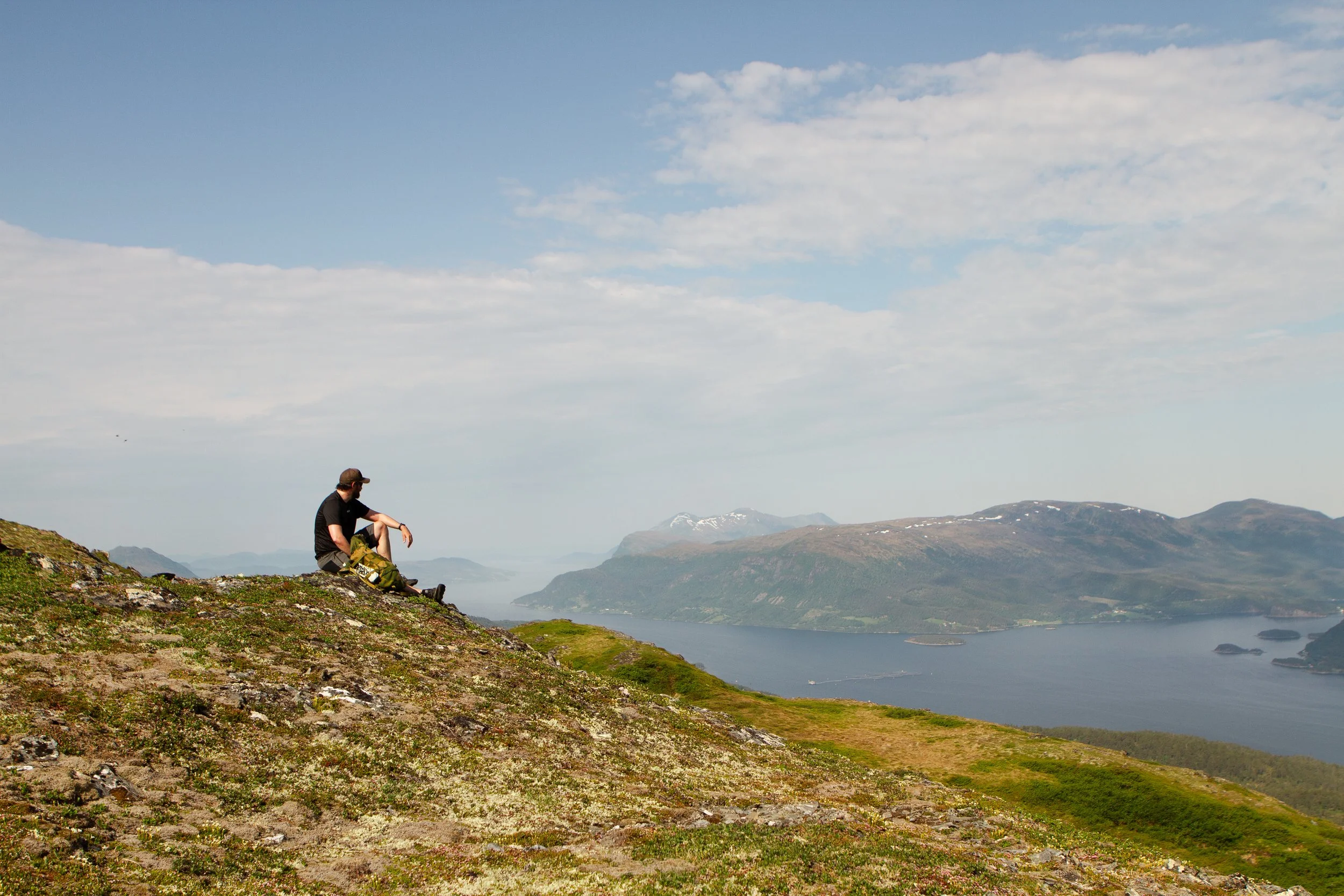
Rather than chasing splits, we focused on steady movement, short stops, and staying ahead of fatigue. Fjordruta rewards that approach—it’s less about brute speed and more about sustained flow.
The DNT Huts: Perfect for Fast Travel
One of Fjordruta’s biggest advantages for runners is the hut infrastructure. The route is dotted with well-maintained self-service and no-service DNT cabins, making light-and-fast travel realistic without sacrificing safety.
Typical huts along Fjordruta offer:
Bunks with mattresses and blankets
Gas burners and basic kitchen equipment
Dry food supplies (bring cash or a DNT key)
Shelter from rapidly changing coastal weather
For trail runners, this means:
No tent required
Minimal cooking gear
Short, efficient stops
Real recovery between stages
Planning your days around hut locations allows for ambitious mileage without compromising rest.
Gear and Strategy Tips for Trail Runners
If you’re considering Fjordruta as a run rather than a hike, a few things matter more than others:
Shoes:
Choose trail shoes with good grip on wet rock and grass. Conditions change fast near the coast.
Pack:
A lightweight vest (8–12L) is ideal. You’ll want space for layers, food, and safety gear without overloading.
Weather Awareness:
Nordmøre weather is famously unpredictable. Sunshine can turn to fog and wind in minutes—especially near the coast.
Navigation:
The trail is marked, but fog can make things vague on high plateaus. GPS backup is strongly recommended.
Mindset:
Expect to hike some climbs. Fjordruta rewards efficiency, not ego.
The Grand Finale: Tustnastabban
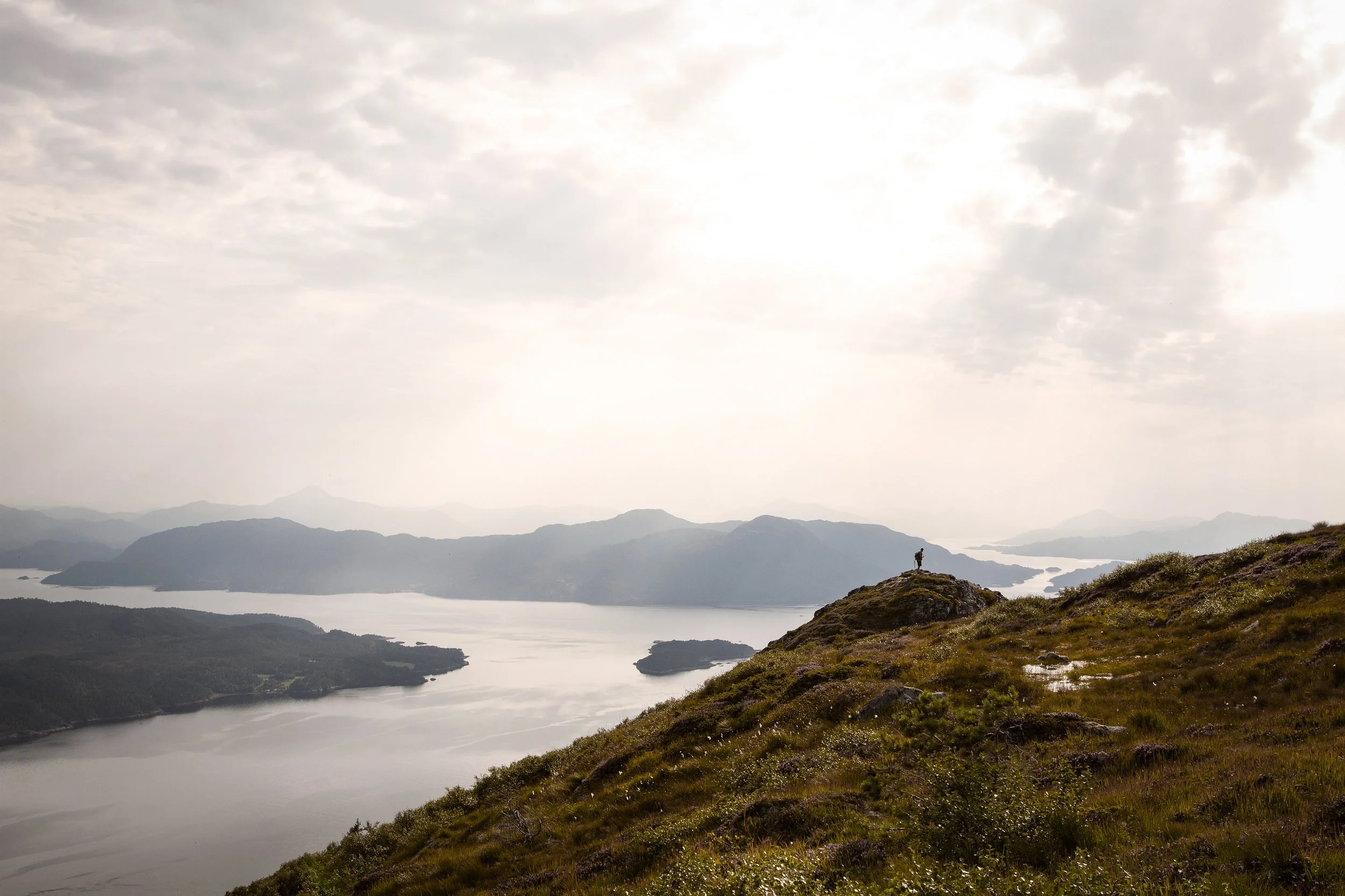
If Fjordruta has a crown jewel, it’s the final traverse over Tustnastabban on the island of Tustna.
Rising steeply from the sea, Tustnastabban is among the highest mountains in Norway measured from coastline to summit on an island, offering a dramatic sense of vertical gain in a very short horizontal distance. Whether it’s technically the second highest by certain definitions is debated—but what’s not debatable is the impact.
From the top, you’re treated to:
Panoramic views of fjords and islands
The open Atlantic stretching west
Inland peaks fading into the horizon
Running here feels surreal. Few places combine such alpine character with such immediate proximity to the ocean.
Why Fjordruta Belongs on the Trail Running Map
Fjordruta is still flying under the radar internationally, but it shouldn’t be. It offers:
Multi-day trail running with real wilderness
Reliable huts and logistics
Diverse, engaging terrain
A unique blend of coast, fjord, and alpine mountains
A proven race pedigree through Salomon X-Trails
For experienced trail runners looking beyond single-day objectives, Fjordruta is not just runnable—it’s exceptional.
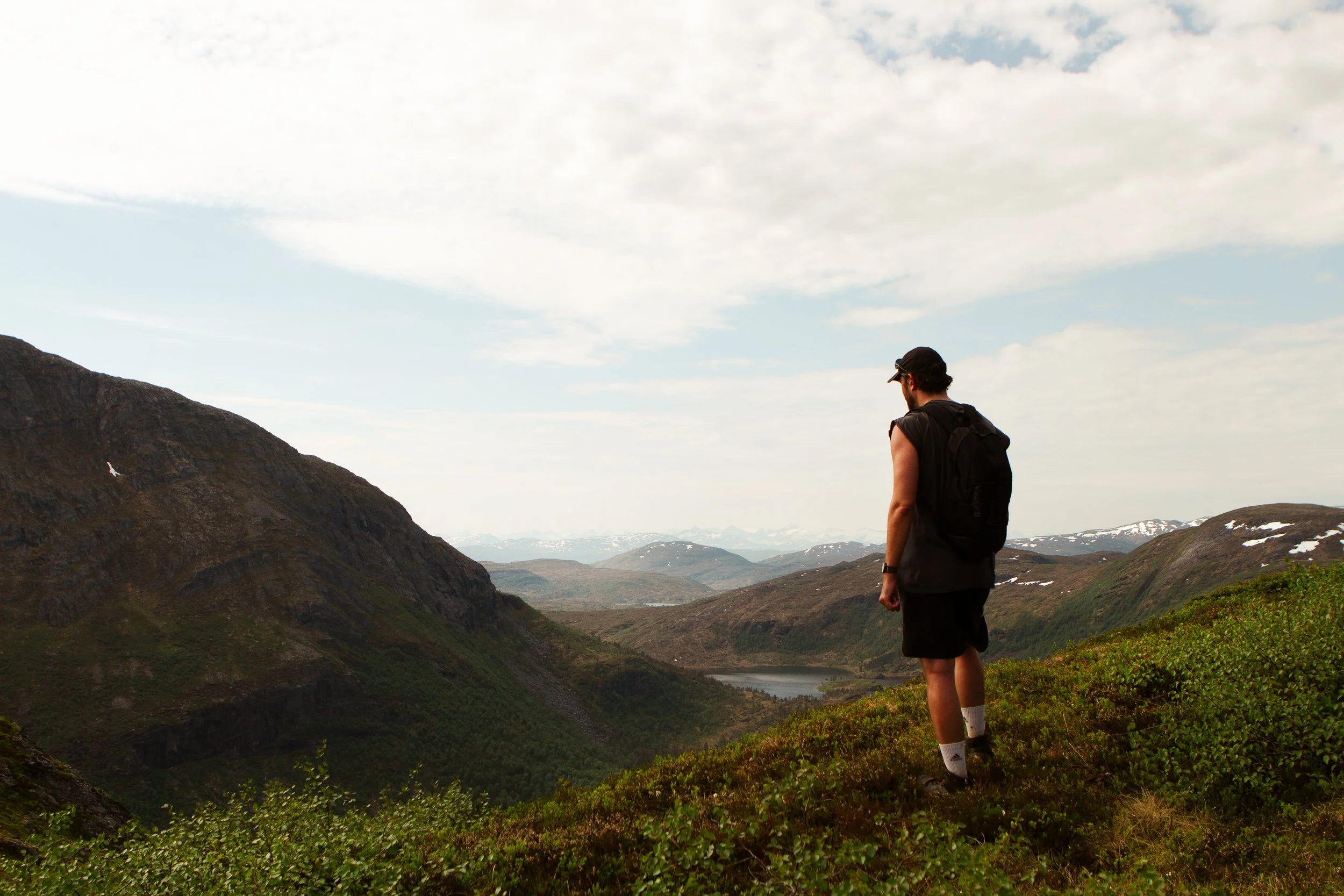
Views of Trollheimen
Fjordruta – Trail Running Facts
Location:
Nordmøre, Møre og Romsdal, Norway
Total distance:
Approx. 160–180 km (depending on variants and side trips)
Typical hiking time:
7–10 days
Elevation gain:
Approx. 7,000–9,000 m D+ (route dependent)
Highest terrain:
Coastal alpine mountains with summits rising steeply from sea level
Terrain:
Marked mountain trails, forest paths, open alpine plateaus, rocky ridges, steep climbs and long runnable descents
Technical level:
Moderate to demanding — very runnable in parts, but requires confident movement in rough mountain terrain
Best season:
Late June to September
(Snow can linger early in the season; autumn brings shorter days and harsher weather)
Accommodation:
DNT self-service and no-service huts along the route
(No tent required if planning hut-to-hut)
Navigation:
Well-marked trail, but GPS recommended for fog and bad weather
Water & resupply:
Streams widely available; limited food supplies in huts
Who is it for?
Experienced trail runners and fastpackers looking for a multi-day mountain challenge with real wilderness and strong hut infrastructure